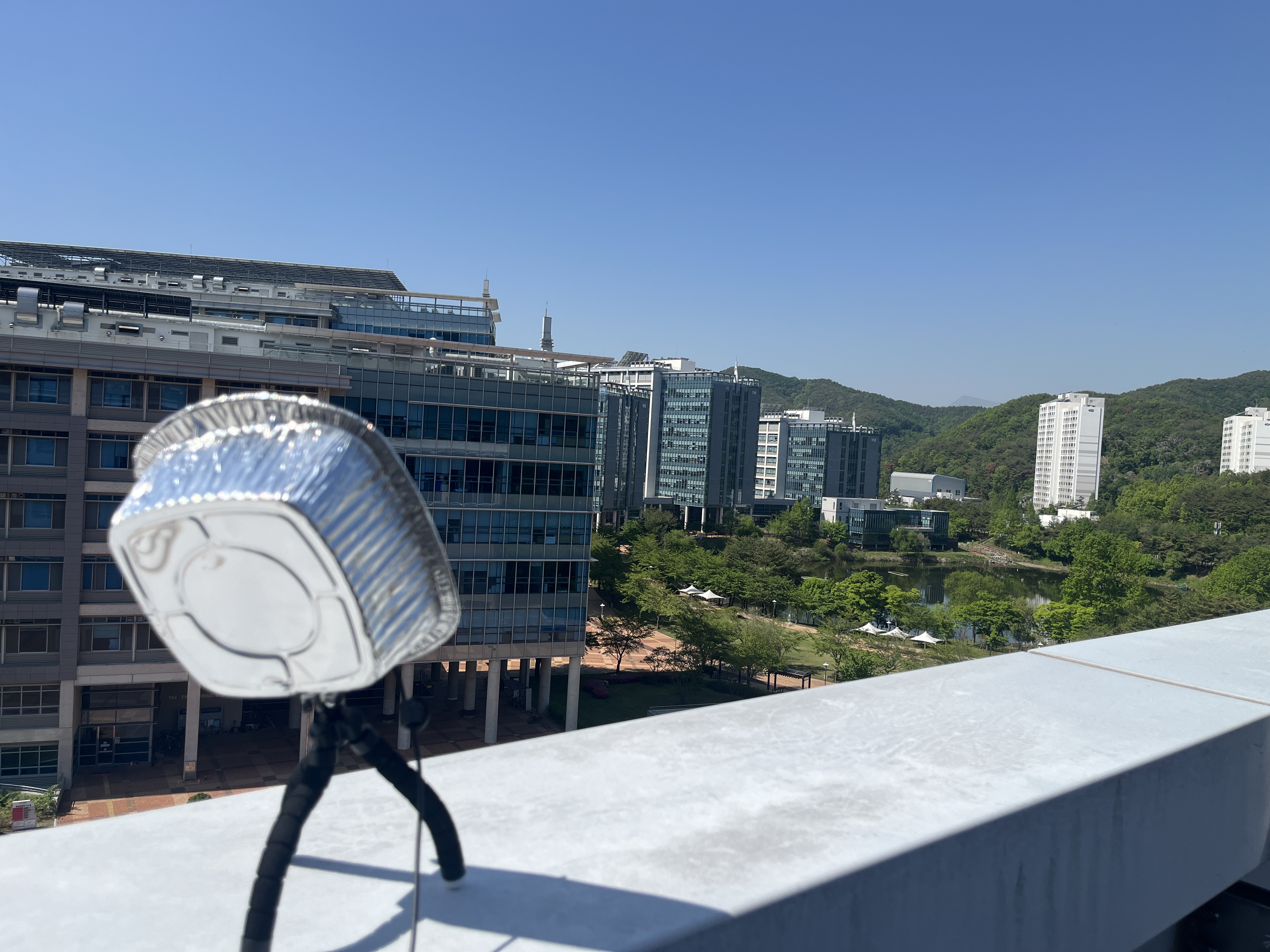
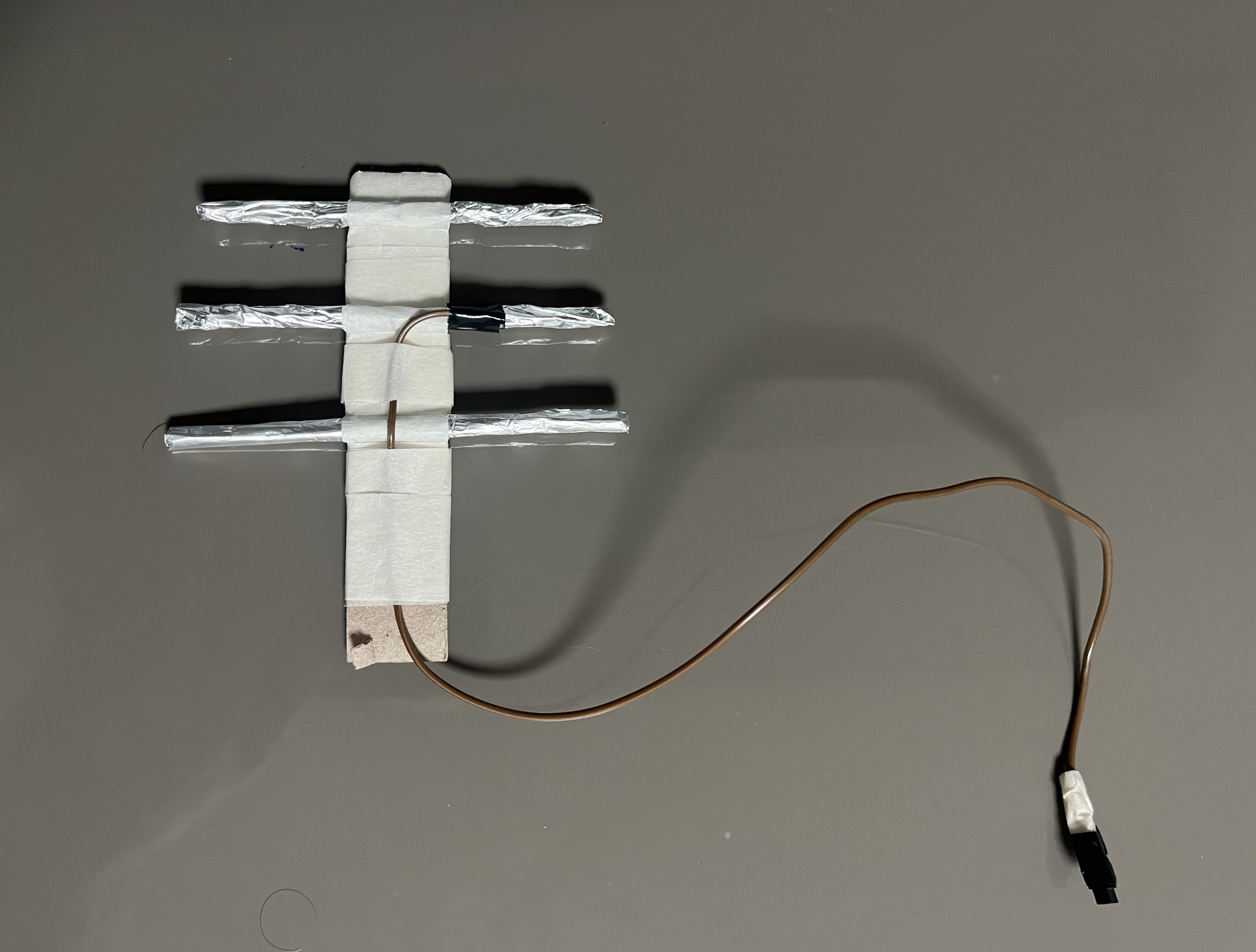
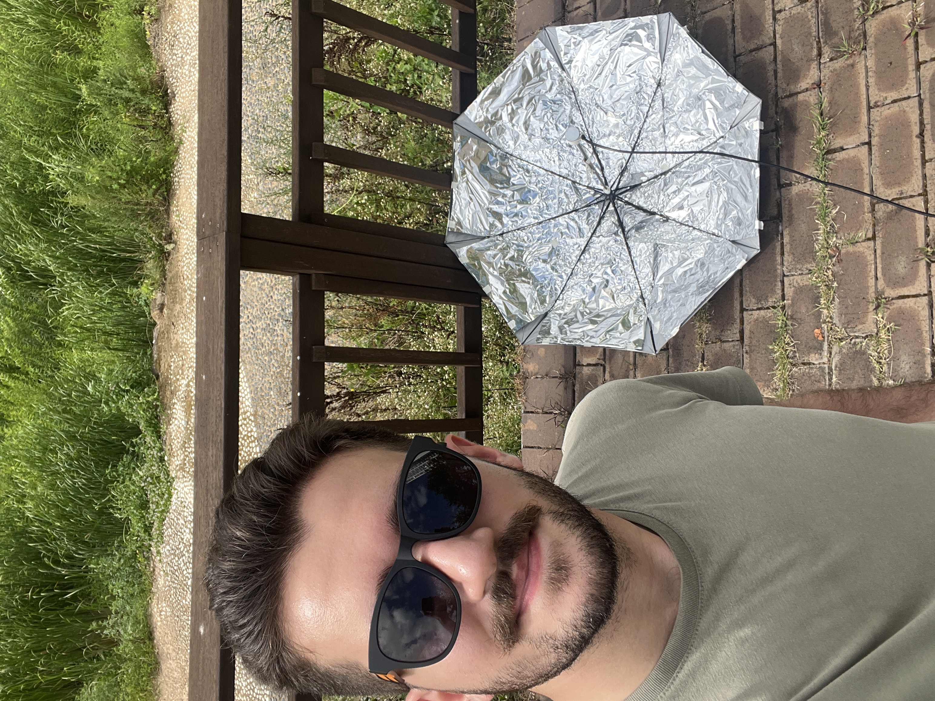
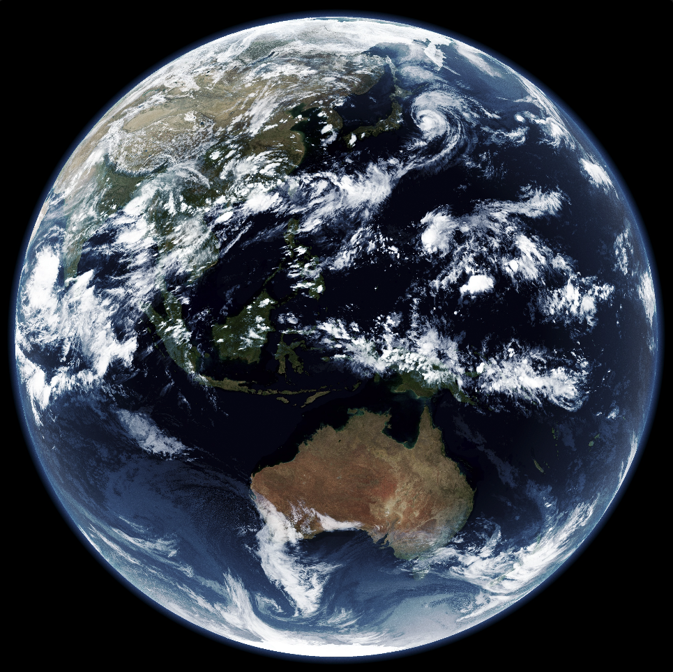
I recently came across the Software Defined Radio (SDR) community. It turns out that you can use a small USB dongle to capture and decode signals from a wide range of radio frequencies. Sure you can do boring things like listening to FM radio or tracking airplanes, but you can also capture cool images of the Earth from weather satellites! Korea happens to have a geostationary weather satellite GEO-KOMPSAT 2A (GK-2A) near me that actively sends data to the ground, so I decided to give it a try. The weather satellites usually work at very high frequencies with very weak signals, so it is a challenging task to capture them properly without specialized tools. This short post walks you through my setup and the process of capturing the images. Feel free to reach out to me for more technical details.


